Our Maps
Explore Our Maps
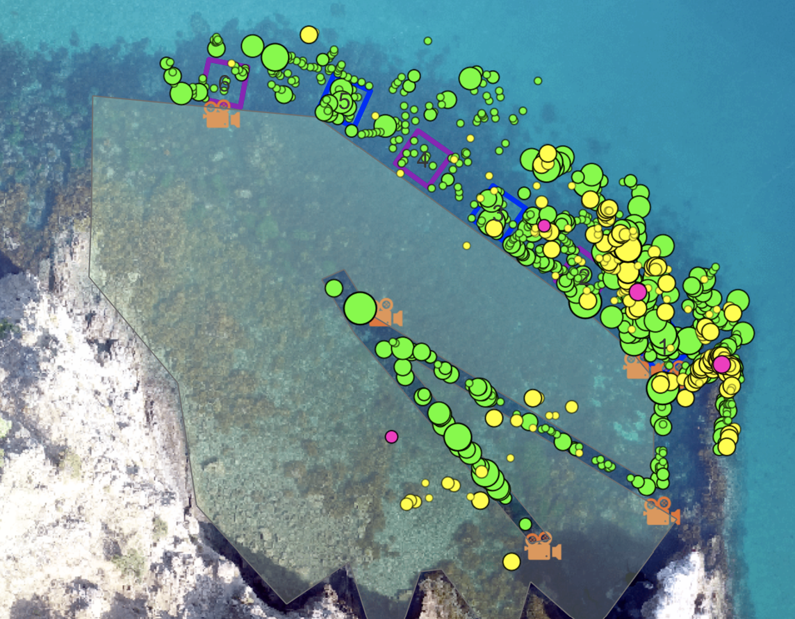
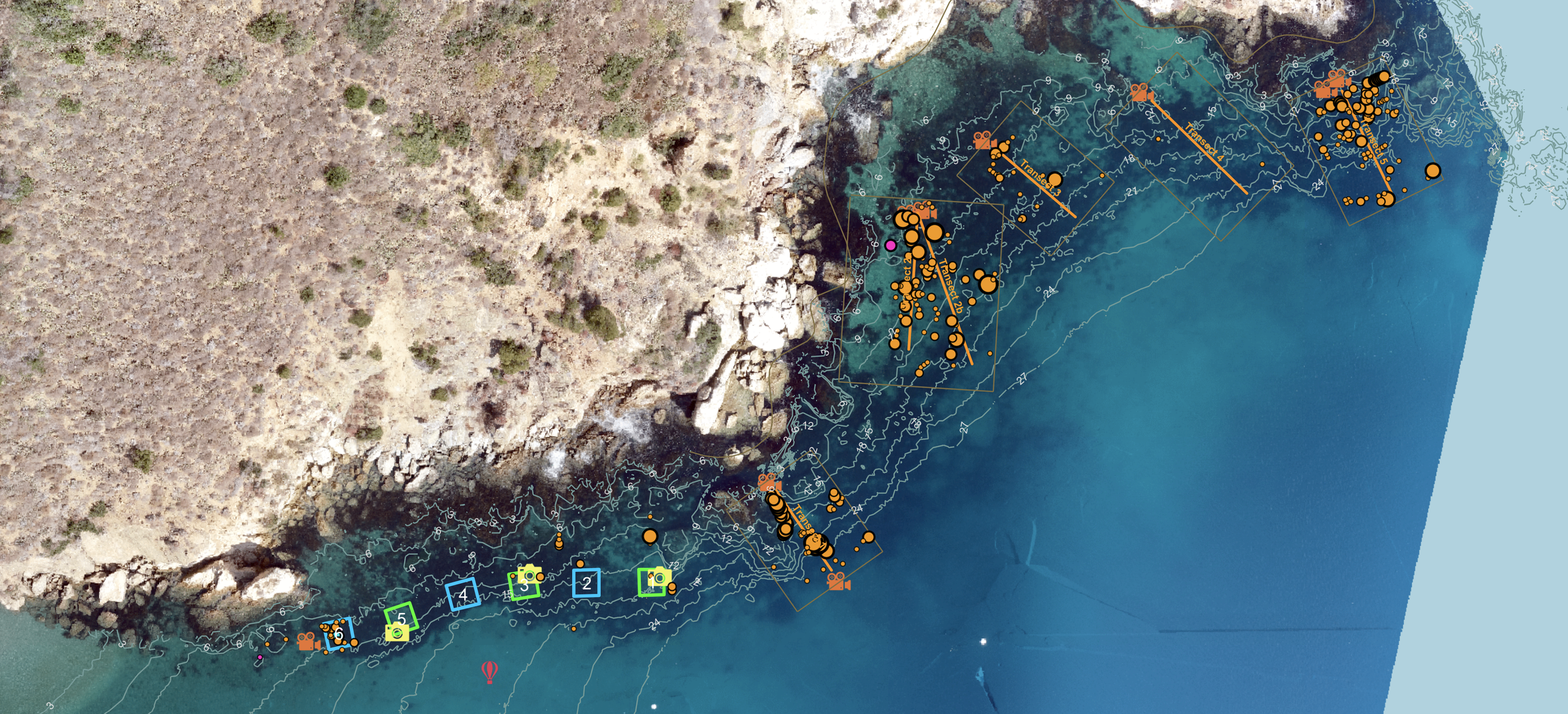
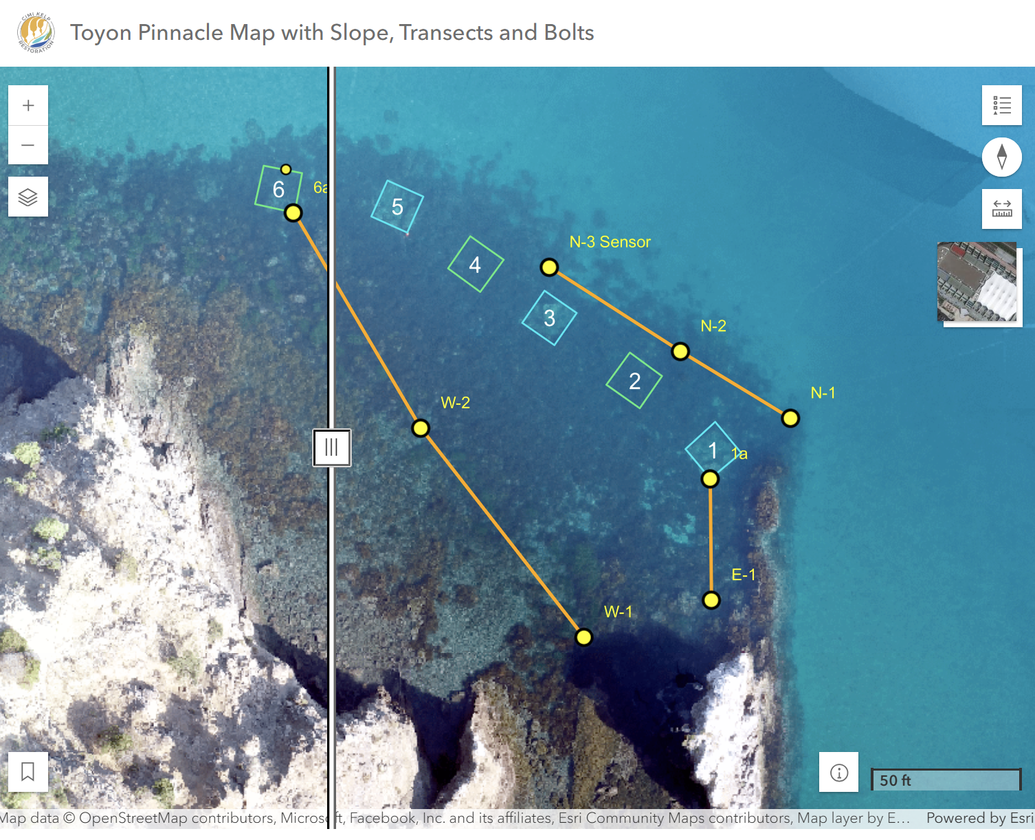
Geographic Information Systems (GIS) layers different types of geographic data — like seafloor substrate, water depth, drone images, diver surveys, ecological observations and more — onto interactive maps. This helps us spot patterns and relationships that aren’t obvious in raw data alone!
For kelp restoration, GIS is a powerful tool for mapping restoration sites, tracking kelp forest changes over time, and understanding key environmental factors like underwater topography, depth, shading from cliffs, species distribution and more. By combining data from multiple sources, GIS helps us make informed decisions about where, when and how to restore kelp habitats.
Explore our various restoration site maps on ArcGIS Online below!